
In the UK, we’re definitely not short on mountains worth climbing. It’s a playground for anyone who loves the outdoors, with peaks calling your name from every corner.
From short scenic walks to serious uphill grinds, Britain is packed with trails of all shapes and sizes. No wonder it’s known as a hiker’s paradise… ignoring the famously unpredictable weather, of course.
“Sunny at the bottom?” Yeah. “Stormy at the top?” Also very possible.
For many passionate walkers, taking on the three highest mountains across England, Scotland, and Wales sits right at the top of the bucket list. The iconic trio includes:
Ben Nevis – the highest peak in Scotland at 1,344m
Scafell Pike – England’s highest at 978m
Snowdon – the tallest mountain in Wales at 1,085m
What makes these peaks special is the balance they strike. They’re challenging enough to feel like a real achievement, yet still achievable for anyone with some hill-walking experience and the mindset to push through.
So the real question is: which one are you starting with?

Most of the footpaths are straightforward, so all you really need are some basic navigation skills, proper preparation, and a strong drive to reach the top.
In this post, we’re giving you the full lowdown on Britain’s Three Highest Peaks 🔥
The Three Peaks Challenge
Arguably the UK’s most famous walking challenge, the Three Peaks Challenge has adventurers tackling Ben Nevis, Scafell Pike, and Snowdon—all within just 24 hours! ⏱️
But here’s the thing: you don’t have to rush it. Each peak is an adventure on its own, and skipping the time pressure lets you soak in the views, enjoy the climb, and truly savor the journey instead of just racing from one summit to the next.
Tips for Tackling Your First Peak
Before you take on your first big climb, make sure you’re properly prepared. 🏔️
Since Covid, mountain rescue teams have been busier than ever, thanks to more people exploring these peaks while international travel remains tricky.
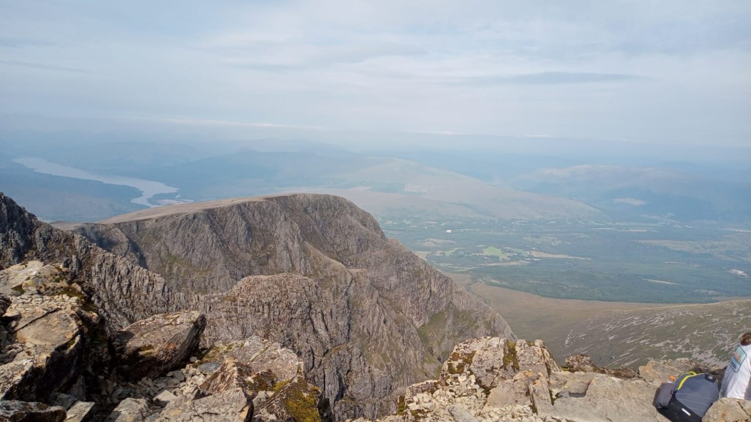
You’d be shocked at how many first-time climbers show up totally unprepared – we even once saw a lady trying to hike in high heels! 😳
Those are the ones who usually end up in trouble. Don’t be that person.
To tackle these peaks safely, make sure you:
Wear the Right Clothing
Weather on high peaks can change in an instant. Always pack extra layers, a hat, and gloves to stay warm, and don’t forget waterproof trousers and a jacket in case the skies open up.
Bring the Right Kit
Sturdy walking boots are a must for grip and ankle support. Other essentials include a map, a head torch if you’re out after dark, and walking poles to make the climb easier.
Pack Plenty of Water & Snacks
It’s better to have too much than too little. On hot days, carry extra water to stay hydrated. For snacks, go for high-energy options—jelly babies are a personal favourite for that quick sugar boost! 🍬
Climb With a Friend
Even the most careful hikers are safer with company. A friend can help if you take a wrong turn or have a tumble. At minimum, let someone know your plans.
Keep Your Phone Handy
Signal can be patchy, but having a phone is always a smart backup for emergencies.
Check the Weather
Always check conditions before you set off. If the forecast looks risky, it’s smarter to postpone and come back another day.
Train Before You Climb
Build your fitness with hill walks and practice hikes. If you start a climb and feel unsure, don’t be afraid to turn back and try again once you’re stronger.
Highest mountain in Scotland – Ben Nevis
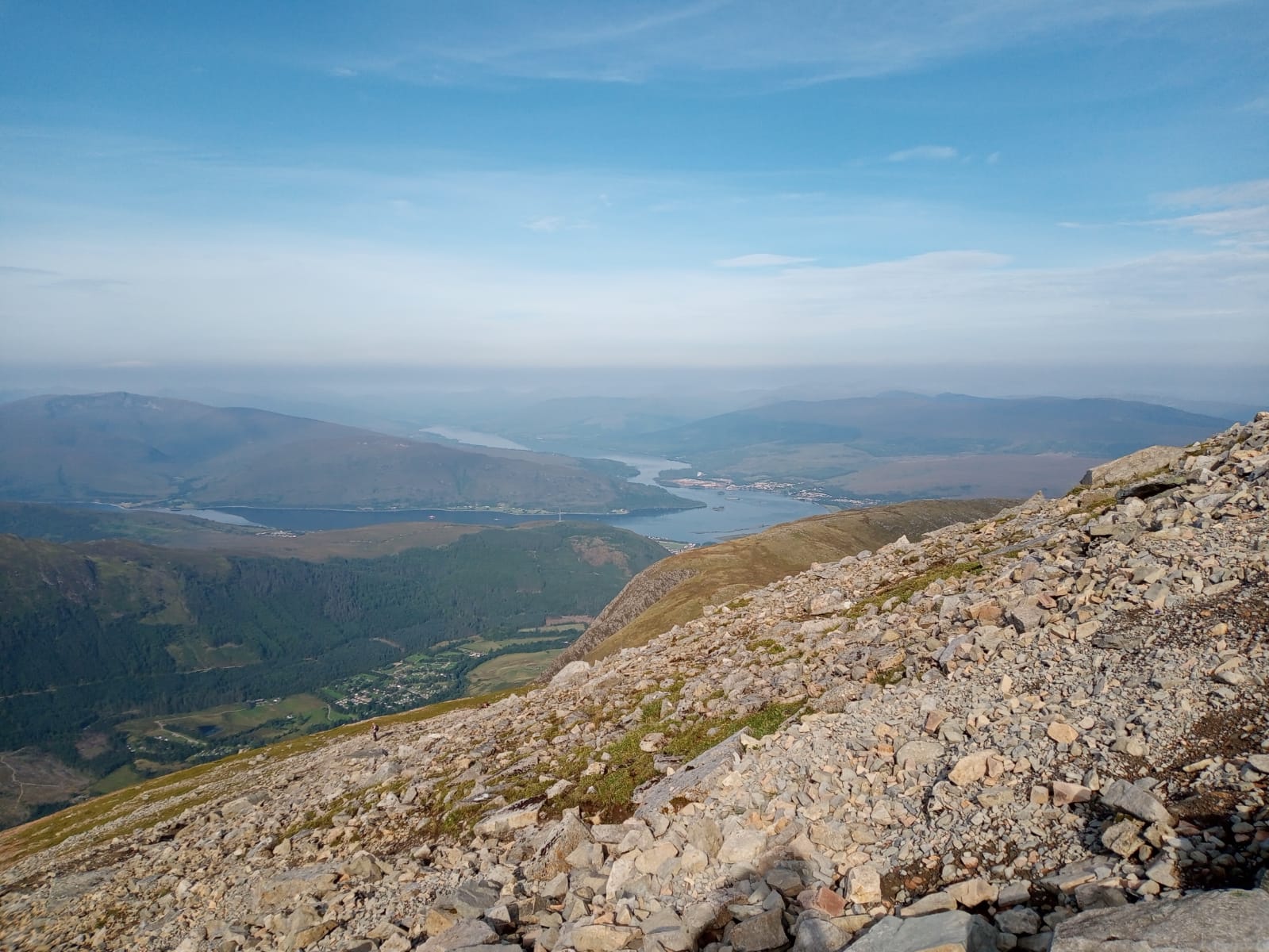
📍 Elevation: 1,345 metres (4,413 ft)
📍 Distance: 15.6 km
📍 Location: Western end of the Grampian Mountains
📍 Start Point: Visitor Centre, Glen Nevis, Fort William PH33 6PF
📍 Recommended Route: Mountain Path
📍 Time: 4h 46m

Kicking things off with the king of UK peaks, Ben Nevis towers over the Scottish Highlands at 1,345 metres (4,413 ft). Located near the small town of Fort William, it draws over 150,000 hikers to its summit every year.
Famous for its unpredictable weather near the top, Ben Nevis probably has the wildest conditions you’ll find anywhere in the UK. 🌬️
With that in mind, being fully prepared—both physically and mentally—is a must. Pack the right gear, and don’t forget extra layers to throw on as you reach the summit.
Which route to take
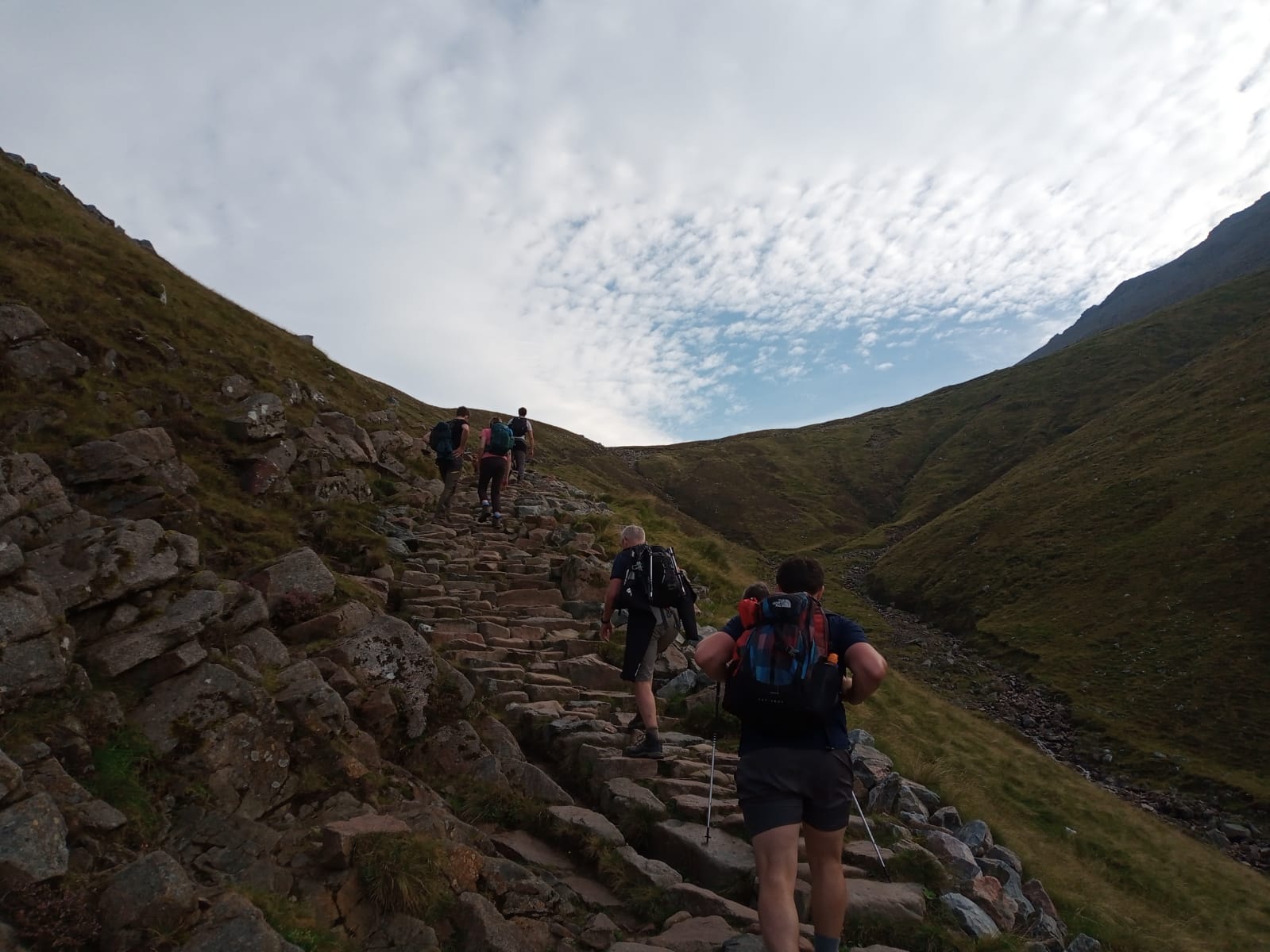
The easiest way up is the Mountain Path, starting at the Glen Nevis visitor centre car park. Just cross the bridge by the centre and follow the trail all the way to the summit.
“Easiest” doesn’t mean easy though—the climb is a steady, steep ascent, with winding, uneven slate paths that can feel endless.
This is where mental toughness matters most: keep going, focus on one step at a time, and don’t let the climb intimidate you. 💪
Reaching the top brings an incredible sense of achievement, and if the skies cooperate, the views are simply unbeatable.
For experienced and fit walkers, the Mountain Path can be completed in 4–5 hours. Beginners or those taking it slower should plan for around 6 hours.
Novice hikers are advised not to attempt Ben Nevis between November and May. The rocky path gets even trickier when wet, and rain, fog, clouds, or snow can quickly reduce visibility.
History Of Ben Nevis
Ben Nevis actually comes from the Scottish Gaelic name “Beinn Nibheis”, which can be translated as “Malicious” or “Venomous Mountain.”
Some experts, however, suggest it simply means “mountain with its head in the clouds.”
If you’ve tackled Ben Nevis yourself, both interpretations probably feel pretty accurate! 🌄
Interestingly, the pale granite at the summit shows that Ben Nevis was once a massive volcano, which erupted and collapsed millions of years ago.

The first recorded person to climb Ben Nevis was James Robertson in 1771, a botanist from Edinburgh who ventured up to collect plant samples. 🌱
Ben Nevis wasn’t officially recognized as the highest mountain in Britain and Ireland until 1847, surpassing the previous tallest, Ben Macdui, by about 100 feet.
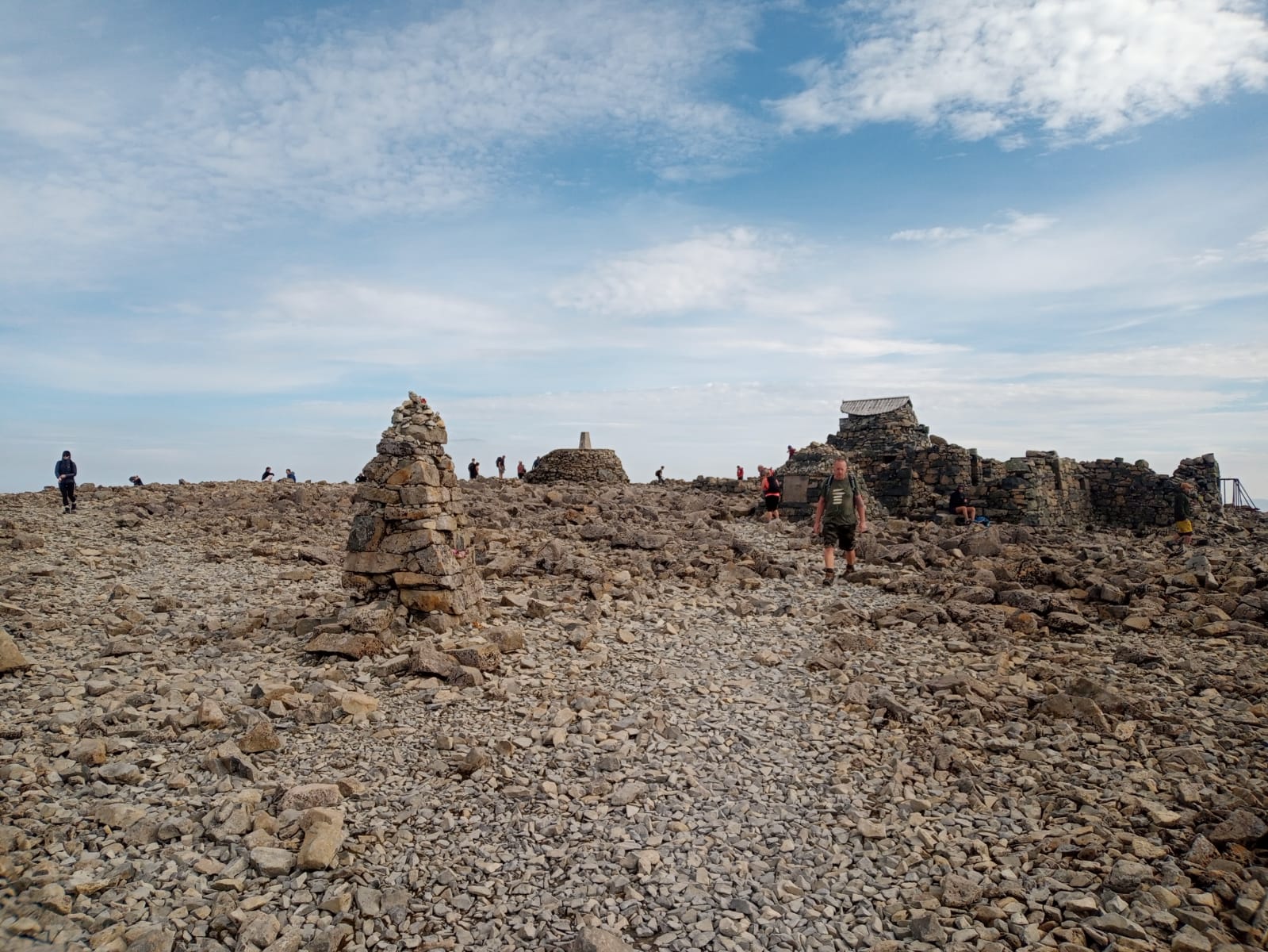
At the summit, there’s still an emergency shelter you can climb inside. Fun fact: this shelter actually sits higher than the trig point, making it the tallest man-made structure in Britain!
What else to check out in the area
Fort William is a charming little harbour town just 2 miles from the base of Ben Nevis. 🏘️
You’ll find plenty of places to eat, drink, and shop, with lots of stores offering Ben Nevis-themed souvenirs like t-shirts, books, and even drinks.
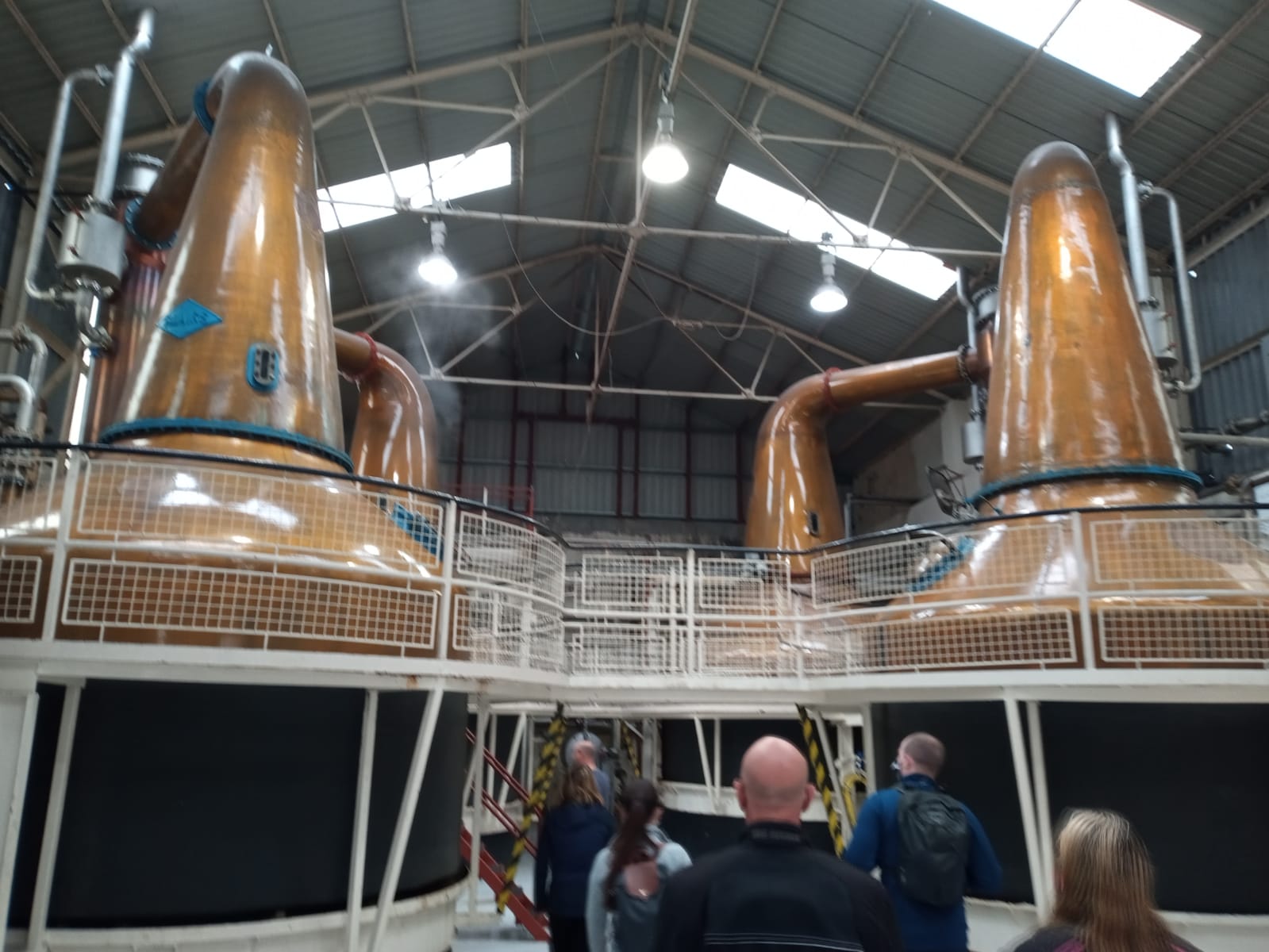
A personal favourite is the Ben Nevis Distillery, where you can enjoy a tour and whisky tasting. The whisky is so good, I couldn’t resist taking a bottle home on my last visit!
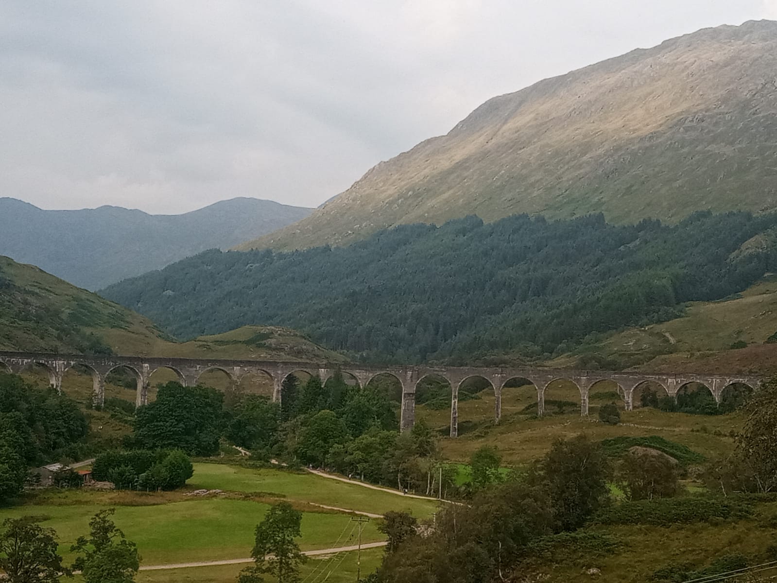
Just a short distance away, you can visit the famous viaduct featured in the Harry Potter films—an absolute must-see for fans! 🪄
Highest mountain In Wales – Snowdon
📍 Elevation: 1,085 metres (3,560 ft)
📍 Distance: 13.96 km
📍 Location: Snowdonia National Park, Gwynedd
📍 Start Point: Parking for Snowdon, Llanberis, Caernarfon LL55 4TU
📍 Recommended Route: Llanberis Path
📍 Elevation Gain: 1,020 m
📍 Time: 3h 23m

Nestled in the heart of Snowdonia National Park, Mount Snowdon towers at an impressive 1,085 metres. 🏔️
Snowdon offers the most route options of the three peaks, with six distinct paths leading to the summit. Not keen on hiking? You can also take the mountain railway straight to the top.
It’s no surprise that Snowdon has earned the title of “busiest mountain in Britain.” Since the Covid lockdowns, its popularity has soared, now drawing around 700,000 visitors each year.
Which route to take
While my personal favourite is the Watkin Path (more on that in a future blog post), for beginners, the Llanberis Path is by far the best choice.

The Llanberis Path offers beautiful views and a satisfying climb, while avoiding the steep scrambles found on routes like Watkin Path or Crib Goch, which can intimidate less experienced hikers. 🌄
Being the easiest route also means it’s the busiest, so we recommend starting early to beat the crowds.
Like any mountain, Snowdon comes with its risks. While summer makes the path fairly straightforward, winter turns it into a far more dangerous challenge. One particularly hazardous section is known as the Killer Convex. In heavy snow, the path disappears, leaving hikers to navigate the steep slope themselves. Even with all the right gear, this is not a climb for beginners in winter.
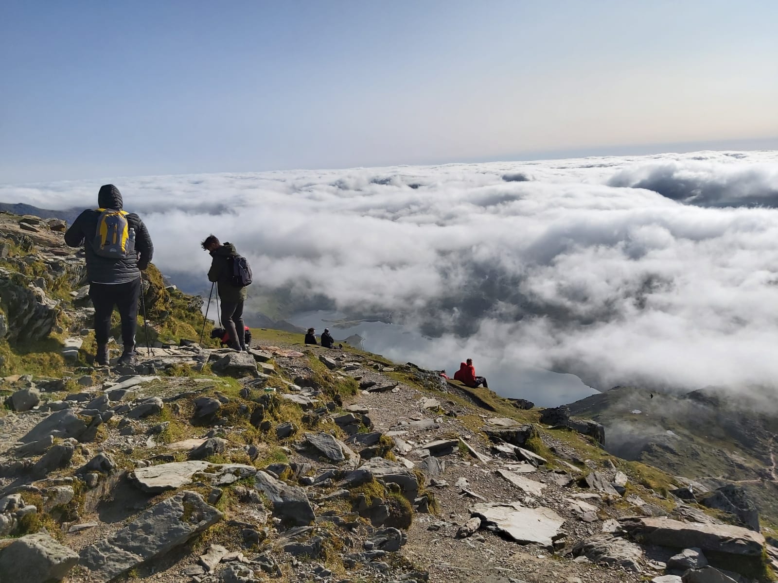
For the best experience, aim for a clear day—the summit rewards you with breathtaking views of Cwm Brwynog, Llanberis, and even all the way to the Isle of Anglesey!
History Of Snowdon
Dating back over 400 million years, ancient volcanoes created Snowdon’s striking rock formations. 🌋
Fast forward about 18,000 years, and glacial activity carved the iconic U-shaped valleys that you see across Snowdonia National Park today.

In Welsh, Snowdon is called “Yr Wyddfa”, which roughly means “The Great Tomb.” 🏔️
Legend says the mountain is actually the tomb of a giant named Rhita Gawr, a fearsome creature who would kill men and fashion cloaks from their beards. He was eventually slain in an epic battle with King Arthur, and Arthur’s men piled rocks on his body—creating the boulders that now dot the summit.
No one knows who first reached the top, but climbs became more frequent after Thomas Pennant documented his ascent in Tours (1871).
Before the mountain railway existed, people used ponies to navigate the steep paths. The railway, designed by Sir Richard Moon and George Asheeton Smith, opened in 1896. Despite an accident on its first day, it has had no accidents since!
What else to check out in the area
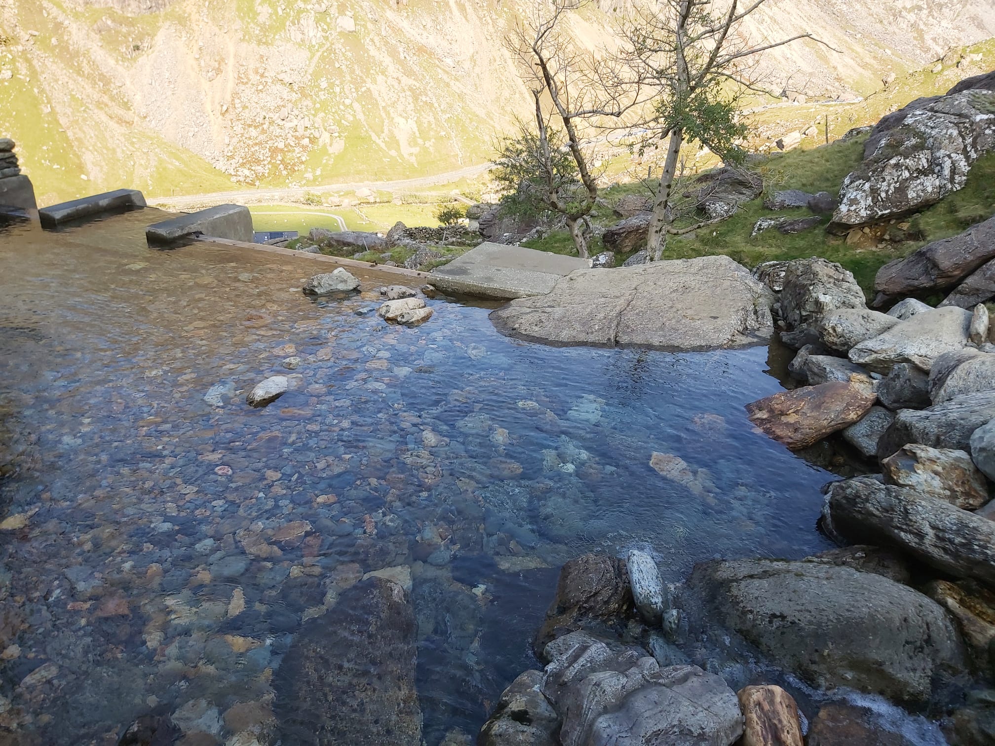
One of our favourite hidden gems in Snowdonia National Park is the Secret Infinity Pool. 💦
It’s just a short distance from the Llanberis Path, so you’re never far from the peak. Check the link for tips on finding this stunning spot!
Highest mountain in England – Scafell Pike
📍 Elevation: 978 metres (3,209 ft)
📍 Distance: 8.8 km
📍 Location: Lake District National Park, Cumbria
📍 Start Point: Wasdale Head Car Park for Scafell Pike, Wasdale Head, Seascale CA20 1EX
📍 Recommended Route: Route from Wasdale Head
📍 Time: 2h 47m

Though not as tall as Ben Nevis or Snowdon, Scafell Pike is still England’s highest mountain, rising to 3,209 feet. 🏔️
Despite being the smallest of the three peaks, it’s arguably the trickiest to navigate. I last tackled it in the middle of the night during our Three Peaks 24-Hour Challenge, and a hailstorm on the descent made it even more challenging!

This is where navigation skills become crucial. Even when the path isn’t visible to the eye, using maps on your phone helped us stick to the designated route and stay safe.
If you can, follow the advice of Alfred Wainwright: start early and wait for good weather to truly make the most of the climb. 🌤️
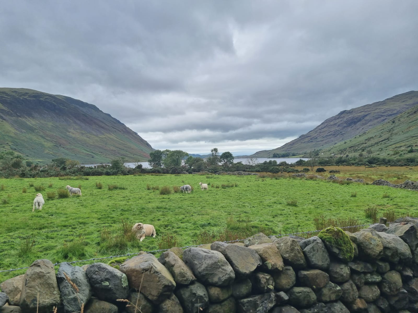
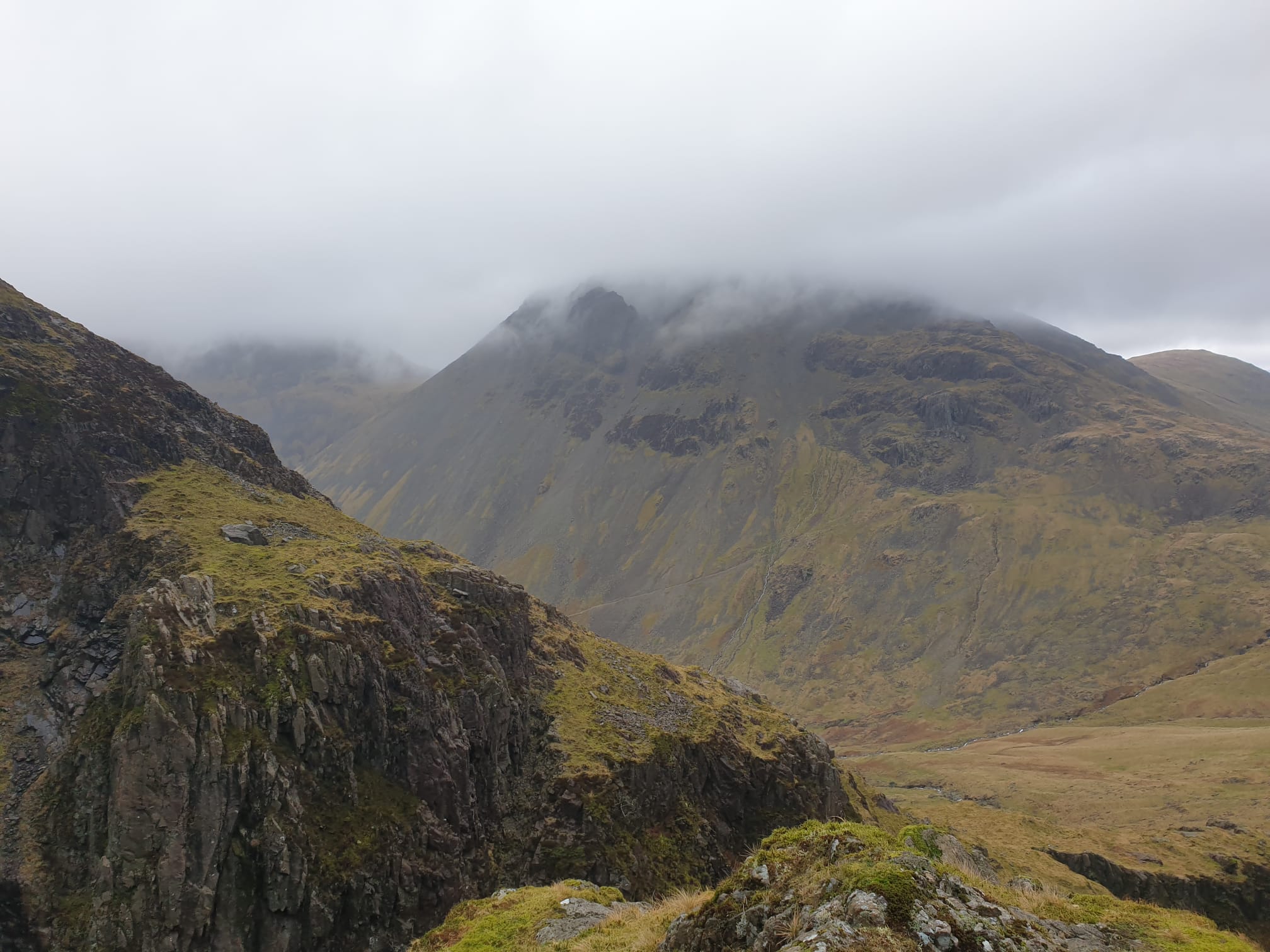
Right in the heart of the Lake District, the views from the summit are nothing short of stunning.
Which route to take
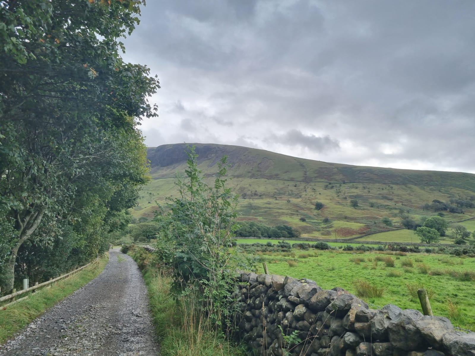
Starting at Wasdale Head Car Park, the route begins fairly straightforward. Just follow the footpath along the river until you reach the river crossing. 🌊
Here’s where you’ll get wet! Depending on the weather, the water can range from shallow to knee-height.
On our last trip, heavy rain meant a deep crossing, so we packed old shoes and a small towel. We waded across in our old trainers, quickly dried our feet on the other side, and slipped our walking boots back on to continue the climb.
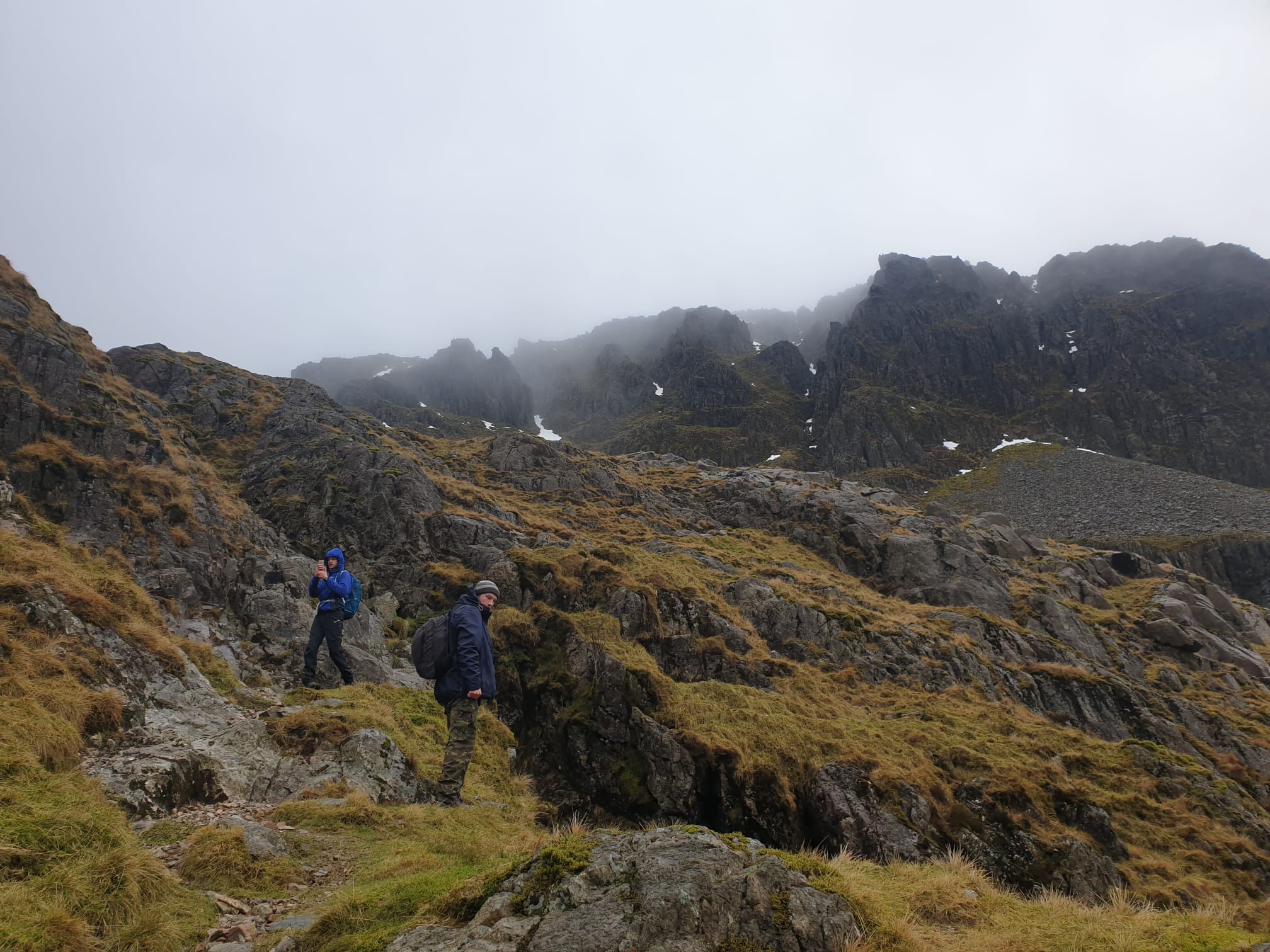
After the river crossing, the path stays fairly easy—but things get trickier in the final third of the climb. This is where a compass, map, or phone navigation app becomes essential. 🧭
Once you reach the trig point, you simply head back the same way, keeping a close eye on the route. The peak is full of rugged terrain and crags, so watch your footing carefully!
History Of Scafell Pike
One of England’s most iconic peaks, the summit of Scafell Pike was gifted to the National Trust by Rt. Hon. Lord Leconfield in 1919 as a war memorial. 🏔️
A plaque at the summit reads:
“In perpetual memory of the men
of the Lake District who fell
for God and King, for freedom
peace and right in the Great War
1914–1918.
This summit of Scafell
was given to the nation subject
to any commoners rights & placed
in the custody of the National Trust
by
Charles Henry, Baron Leconfield,
1919”
Now in public ownership for over 100 years, Scafell Pike draws over 250,000 visitors each year.
The Lake District’s distinctive landscape comes from ancient volcanic activity and glacial movements, creating the rugged peaks and iconic walks we enjoy in the National Park today.
It’s thought that Scafell Pike gets its name from Old Norse, the language of the Vikings who settled the area around the 9th century. ⚔️
Evidence of both Viking and Roman settlements can still be found across the Copeland borough, where the mountain sits.
Originally called skalli fjall, meaning “fell with the bald summit,” the name gradually evolved over the years through changes in pronunciation and written records, becoming the modern Scafell Pike we know today.
What else to check out in the area
The Lake District is one of my favourite spots, so I could go on forever about what to see and do here. 🌲
Just a 30-minute drive from Scafell Pike is the charming village of Grasmere, famously described by poets William and Dorothy Wordsworth as “the loveliest spot that man hath ever found.”
William and his wife are buried in St Oswald’s Church graveyard in the heart of the village—one of the most visited literary graves in the world.
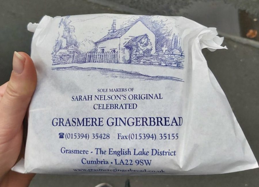
With its many gift shops and cosy eateries, my personal favourite in the village is the Grasmere Gingerbread Shop. 🍪
Dating back to 1854, its secret recipe makes for some of the best gingerbread you’ll ever taste.
Another stunning spot nearby is Buttermere, just 6 miles from Scafell Pike. Check out our blog post to see what we got up to on our last camping trip there!
Conclusion
Hopefully, after reading this guide, you’re feeling ready to take on Britain’s highest peaks. 🏔️
Ben Nevis, Snowdon, and Scafell Pike are all incredible climbs—challenging, breathtaking, and hugely rewarding.
Just prepare properly, and don’t hesitate to call it a day if it doesn’t feel safe to continue.
Good luck, enjoy every step, and stay safe out there!


Comment (0)